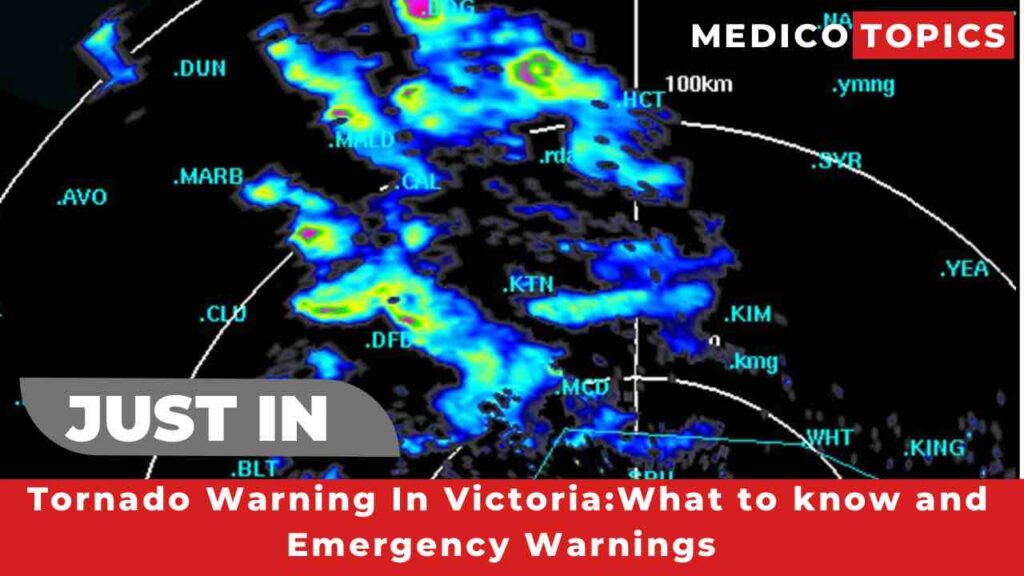
Tornado warning Victoria: Victorian are in a “triple threat” weather phenomenon with a possible Tornado expected to hit the states North West. Let’s see what to know about the Tornado warning and the danger zones in detail.
WHAT TO KNOW ABOUT TORNADO WARNING
Most of the eastern side of New South Wales and Victoria is expected to take the worst part of the wild weather.But the Bureau of Metrology has warned that Mildura ,Swam Hill and other parts of the Mallee could be damaged by several storms.
Meterologists said
In Victoria, Echuca, Bendigo, Daylesford, Ballarat, Hamilton, Miltura and Swam Hill could all be affected in Victoria.Mildura experienced calm and mostly clear condition early on Thursday afternoon.
Bureau warned that storm might develop later in the day and overnight,with the greatest possibility of precipitation occurring between 2am and 11am on Friday.
As well as the Malloy might experience Tornado’s, Hail ,damaging wind gusts and heavy rain just within over 3 months left in Sydney is on track to break all its time Annual Rainfall record this weekend.
Parts of the Eastern Coast’s ranges are expected to experience falls of upto 50 mm the Murray,Murraumbidgee and Darling rivers are already flooded and a large portion of the rain is anticepated to fall in the already saturated Murray-Darling Catchmentes.
VITORIAN WARNING ARRANGEMENTS
The Victorian Warning Arrangements was announced to provide emergency response agencies with a a Coordinated,Consistent direction to provide information and Warning to inform the Victorian community of a potential or actual emergency event.
EMERGENCY BROADBAND
In certain region,Damaging winds of more than 90 km/h are predicted, which might destroy trees and powerlines. The storm thread is expected to ease by Friday morning. During these weather events,daily Rainfall totals from 30-50 millimetres are predicted for the entire state.A major weather warning for heavy rain is now in effect for portions of the Mallee and northern country prediction regions.
A wet 🌧️ & windy 💨Wednesday. The highest rainfall across the north (10-20mm already recorded in the NW), a chance of flash flooding today & river rises over the next few days
Keep 👀 on #VicWeather & warnings: https://t.co/yVizEklrz2
& advice from @vicsesnews @vicemergency pic.twitter.com/qIZcJGo6AQ— Bureau of Meteorology, Victoria (@BOM_Vic) October 4, 2022
A flood watch is in effect for Northern and portions of Southern Victoria and the Bureau has issued Minor flood warnings for the Kiewa,Loddon and Snowy River. Major flood is possible in the Northeast from the Friday afternoon.Rainfall totals of more than 50mm have fallen in less than 24 hrs since 9am on Wednesday across the Great Sydney.
Bureau of Metrology ,Meteorologist Jonathan described the wild situation as ” incredible “.
This thing is enormous. Eastern SA, western NSW and western Vic saw heavy rain overnight and the system is now heading east. Numerous flood warnings are in place so please check our warnings page https://t.co/PtF5gqmTIW pic.twitter.com/3sursR6f9B
— Weatherzone (@weatherzone) October 5, 2022
More updates about the Tornado warning in Victoria will be added soon.
KEEP READING,
Who is Cory Youmans? Meet the $2 million home run ball owner-Covered
Who disrespects Floyd Mayweather in Japan? All about the Japanese Politician
For Further Information, Follow us on Twitter.
I’m Nawin (Admin), a seasoned doctor and accomplished content writer with 8 years of experience. Join me as I unravel the latest breaking news, unveil behind-the-scenes happenings, and explore the aftermath scenes. With my expertise, I’ve crafted this renowned news site to provide you with an authentic perspective on daily happenings. Get ready to delve into a world of truth and knowledge on Medico Topics.
